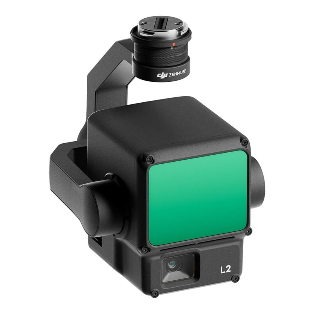
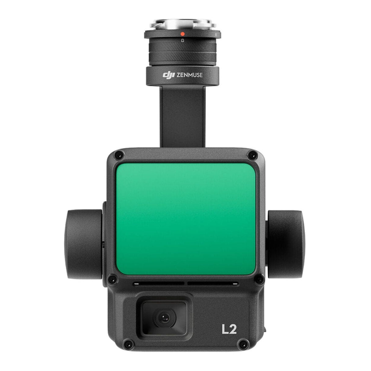
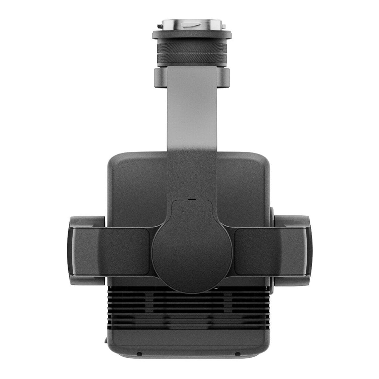
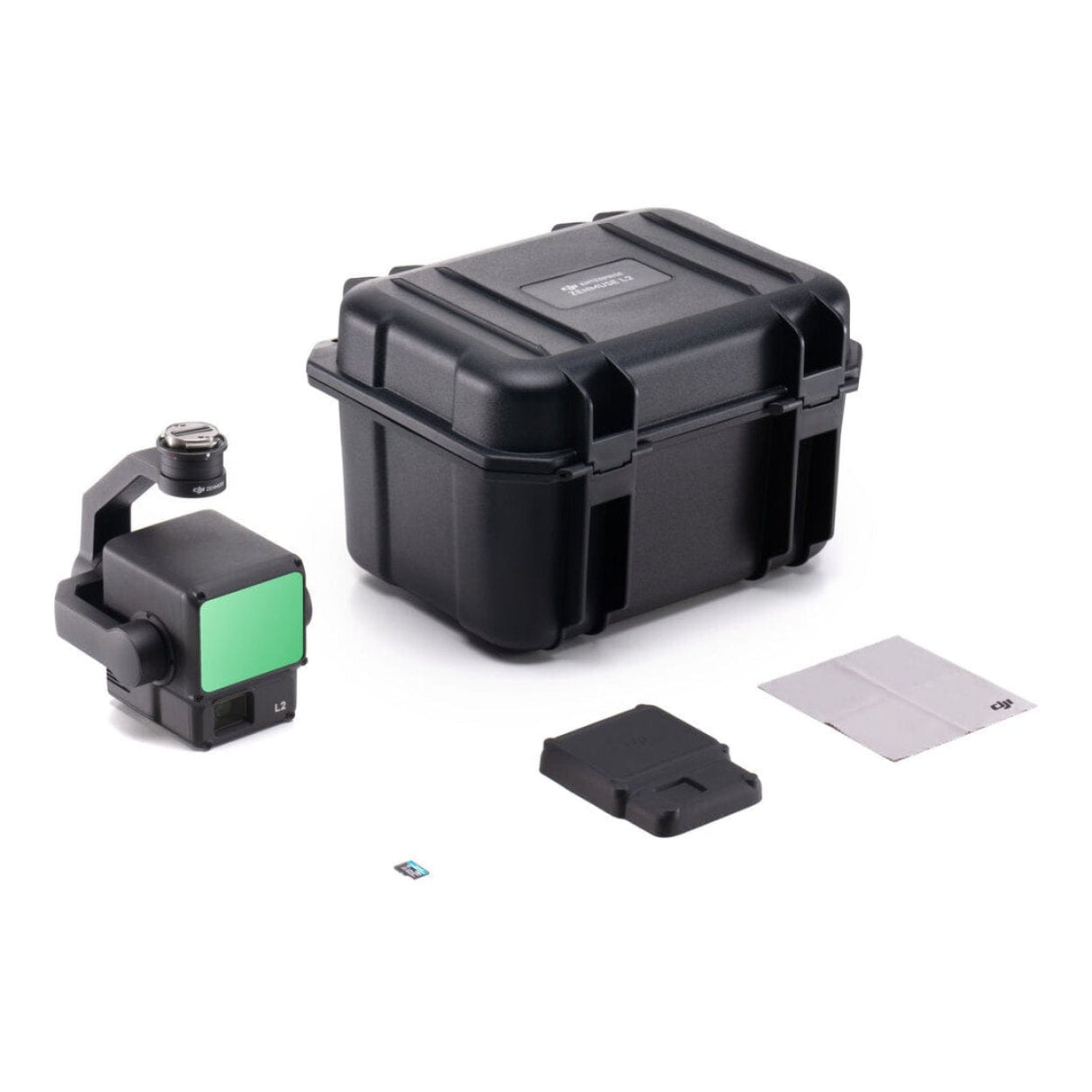
DJI Zenmuse L2 RGB LiDAR Payload CP.EN.00000505.01
DJI Zenmuse L2 RGB LiDAR Payload CP.EN.00000505.01 is backordered and will ship as soon as it is back in stock.
Delivery and Shipping
Delivery and Shipping
* Next Business Day Shipping Available - Learn more
Easy Returns
Easy Returns
Buy With Confidence. 14 Day Returns. Online. Learn More
Price Match Guarantee
Price Match Guarantee
Found a Better Price? We'll Match It - Guaranteed - Learn More
Description
Description
DJI Zenmuse L2 RGB LiDAR Payload CP.EN.00000505.01
Zenmuse L2’s ability to combine LiDAR, a high-precision IMU system and a 4/3 CMOS RGB mapping camera gives DJI’s aerial platforms a powerful tool for geospatial data collection. Additionally, when integrated with DJI Terra software, the L2 becomes a truly powerful tool for 3D data collection and post-processing. Such a capability can be indispensable in, for example, construction, engineering or landscape planning projects where accurate geospatial data is essential.
Features:
- Map, Survey & Inspect with High Accuracy
- LiDAR & RGB Cameras on 3-Axis Gimbal
- Small 1.6 x 4.7" Dot Size
- Capture 240,000 Points per Second
- 20MP RGB with 0.7-Second Image Interval
- Highly Accurate IMU System
- Detection Range of 820 to 1476'
- Waypoint, Area & Linear Route Types
- No Warm-Up Needed When Powered On
Technical Specifications:
Wireless: Yes
Mobile App Compatible: No
Power Source: Proprietary Interface
Power Consumption: 28 W (Typical), 58 W (Maximum)
Color: Black
Environmental Resistance: No
Storage Conditions: -4 to 140°F / -20 to 60°C
Dimensions: 6.9 × 6.1 × 5" / 176 × 155 × 128 mm
Weight: 2 lb / 905 g
Compatibility:
Matrice 350 RTK
DJI Matrice 300 RTK (with DJI RC Plus)
Payment & Security
Payment methods
Your payment information is processed securely. We do not store credit card details nor have access to your credit card information.


